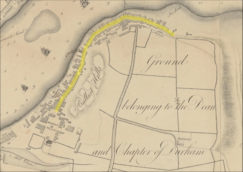
The Riverside area ran from the Market alongside the river and ended at the sea. Until the early 19th century this essentially was South Shields! It was the oldest part of South Shields; it was usually referred to as “the low end of town”.

In this area were salt pans, shipyards, engineering works, saw mills, railways, ferries, breweries, pubs and houses.
In the 19th century the area was densely populated, with dilapidated houses, sanitation was very poor and there were infectious diseases such as smallpox, tuberculosis and cholera which was caused by the lack of clean water. The only thing that was safe to drink was beer!
In 1827 there were 73 pubs recorded along this narrow one mile strip of land.
In the 18th century the Riverside was really just one long street with different names at different sections and a few streets branching off. It started at the Market and ended near the mouth of the river Tyne close to the Groyne. For simplicity I have numbered them in the order you would walk down them starting at the Market.
Principal streets
1 Ferry Street
2 Thrift Street
3 Long Row
4 Wapping Street
5 Comical Corner
6 Shadwell Street
7 Pilot Street
Sources:
Notes on the History of Shipbuilding in South Shields 1746-1946, Amy Flagg
Borough of South Shields, George B Hodgson
British Newspaper Archives
Terry Ford
Photos
South Tyneside Libraries
Terry Ford